The Aislabie Walk

Mist over Hackfall

Valley near Mickley

The Fountain Hackfall

Rustic Temple Hackfall

The Banqueting House Hackfall

Beech Tree Hackfall

View to Masham Limehouse Hill Hackfall

Studley Royal Temple of Piety

Studley Deer Park

Pond near to Mickley

Braithwaite Hall

Azerley Tower

Weir at Studley Royal
Long Distance Walkers Association
The Long Distance Walkers Association have downloadable routes of the Aislabie Walk for the popular GPS devices available for download by members on their website here: LDWA Aislabie Walk
It is not a historically accurate route, but more of a walking route that explores the historical landscape so you may experience the ‘picturesque’ circuit of Studley Royal, Laver Banks and Hackfall as William Aislabie originally intended some 250 years ago.
Image © 2012 David Mason
The LDWA have been very supportive in the development of the walk and John Sparshatt who is Chair of the association has covered many miles physically waymarking the route as well as producing the digital route files for members.
Commenting is closed for this article.
Recent articles
- Studley Royal Deer Park
- Emergency Diversion
- Muddy Laver Banks
- Ripon Runners set a target time
- Long Distance Walkers Association
- Launch of the Aislabie Walk
- New walk reveals Yorkshire's secret garden......
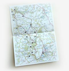
Download
A map of the route together with a detailed description written by Mark Reid is available to download in .pdf format.